Captain James Lowe
USCG 200 Ton Licensed Master
(727) 236-1385

Crossing Florida's Gulf of Mexico Big Bend On a Boat
All the Great Loopers and many yacht deliveries either coming or going to Florida Keys or the Okeechobee Waterway will likely need to cross Big Bend.
You CANNOT simply follow the coastline. Florida's Big Bend has extremely shallow and rocky water. If you have a very shallow draft there are a few nice fishing ports along the Florida GOM big bend coastline such as Cedar Key, and Steinhatchee but larger boats are not advised. If you decide to go for it, call ahead to see what fuels are available.
In most cases, making a crossing becomes necessary! We specialize in yacht deliveries along a diverse range of waterways, including the Gulf of Mexico, the Atlantic Ocean, Inland Rivers, the Great Lakes, canals, islands, bays, and the Intracoastal Waterway (ICW).
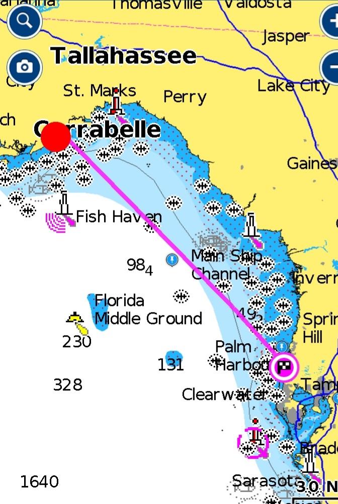
You will cross the Gulf of Mexico from Carrabelle Florida (first and last fuel) on the Florida Panhandle TO The Florida west coast Ports of: Crystal River, Tarpon Springs, Clearwater or ST Pete / Tampa .
For boats under 50 ft crossing the Gulf of Mexico, I would recommend Tarpon Springs or Carrabelle as a departure or arrival point. The distance from fuel to fuel is around 145 nautical miles. Tarpon Springs offers both gas and diesel fuel and is the northernmost point on the Florida west coast where you can start running inside the barrier islands or the Intracoastal Waterway (ICW), also known as the Gulf Intracoastal Waterway (GICW). This makes it a convenient option for boaters who prefer to stay in sheltered waters.
STAY IN CHANNEL POSSIBLE ROCKS ALL ALONG COAST Larger vessels could continue more southernly to Clearwater or Tampa, St. Petersburg
Note*** Hurricane IDALIA 8/30/23 damage to LOTS of marinas in area call ahead!!!!
Crystal River, located at a distance of around 132 nautical miles fuel to fuel, is a relatively shorter route for crossing the Gulf. It is the northernmost port on Florida's west coast where smaller vessels can dock, fuel up and arrive or depart. However, one should keep in mind that Crystal River has a long narrow and shallow entrance channel and finding dockage for larger boats over 40 ft can be a challenge, though it is possible. Nevertheless, Crystal River is a pleasant town with grocery stores, restaurants, and bars, which can be reached within a short Uber ride, making it a decent option for boaters.
A more likely option for boaters making the crossing would be to cross from Clearwater Pass in Clearwater or use the Tampa Bay entrance to St. Petersburg or other points. Although these options may involve slightly greater distances to travel, they offer deeper water and a range of amenities to meet the needs of boaters.
Crossing from Carrabelle to Clearwater Fuel to Fuel is approximately 154 nautical miles St Pete and Tampa are further.
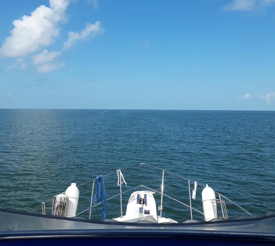
Regardless of the route you choose at some point your going to be at least 65+ miles offshore in the Gulf of Mexico. Cell phones stop working at somewhere between 5 to 7 miles offshore and that varies depending on area. VHF radios only have a range of 20 miles. There will be several hours depending on boat speed. You WON’T SEE LAND all day and longer for slower boats. YOU will be out of contact with EVERYONE including 911.
NOTE: (IF you are offshore on a boat and need help DO NOT call 911 first).
FIRST CALL the US. Coast Guard on VHF 16 or 22A.
The Coast Guard has boats and helicopters on standby and ready for use in emergencies and extremely well-trained professionals.
The local police and ambulance are not normally set up for at sea rescues. Calling 911 at sea could literally slow the rescue response time because of the fact they will now relay the message to the Coast Guard.
We carry a 406 MHZ (satellite) personal EPIRB which is a form of EMERGECNCY POSITION INDICATING RADIO BEACON. I think it’s a good idea for anybody that goes offshore to have a locator beacon / EPIRB.If you would Like an EXPERIENCED Captain to accompany you along your journey or crew the boat across for you, I would be happy to help (Weather Permitting).
*NOTE (Carrabelle FL. Only because of its remote location) We would be happy to provide a driver to accompany the vessel owners in the car we supplied, ensuring their safe and comfortable arrival at their destination marina.
As Captain James Lowe pilots their vessel across the Gulf of Mexico during this time.
